About
The MapWorks specialises in the survey and production of orienteering and leisure maps of the highest standard.
- Survey
- Cartography
- Printing
- Training
- LiDAR data acquisition and management
First established in 1993, The MapWorks is now headed by Nick Nourse and produces the highest quality maps, from International event level orienteering to school mapping, from forest and mountain to urban and parkland, from survey to printed paper, every stage is handled by ourselves.
Services
Survey
Surveys are undertaken solely by ourselves to ensure a consistent and high standard of service. As experienced orienteers, we carry out surveys that suit all competitor classes and levels of ability, as defined by British Orienteering and the International Orienteering Federation.
The MapWorks sources LiDAR data and aerial photographs from commercial and archival organisations to enhance the quality of your survey. Digital data manipulation has been found to be best achieved using GIS software.
Cartography
All our cartography is computer-produced, unless otherwise required. We specialise in the use of OCAD cartographic software, but also produce maps in Adobe Illustrator and Inkscape, and GIS (Geographical Information System) software. Traditional methods of cartography, by pen and ink or other legacy systems and software, can be accommodated where appropriate.
- OCAD
- Open Orienteering Mapper
- Adobe Illustrator and Inkscape
- QGIS and ArcGIS
Printing
The MapWorks can offer 30 years of experience in the printing and reprographics industry, and to ensure continued quality of your printed maps all stages of the printing process are handled by ourselves.
We are also able to handle print ready artwork from customers for camera photo-reduction.
- Digital printing.
- Litho-offset printing.
- Waterproof paper.
- Course overprints.
Other services
Training and advice sessions are available on setting up Permanent Orienteering Courses, especially within schools and for park and local authority maps.
We also provide digital data (LiDAR) management services within to assist club mappers with the interpretation and manipulation of remote sources.
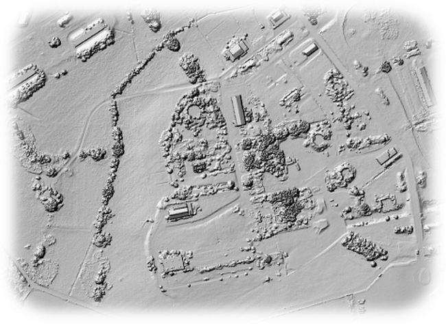
Historical GIS
Nick Nourse maintains a secialism in historical GIS at (mostly) the University of Bristol (Department of Historical Studies).
Historical GIS commonly involves the creation, collation, analysis and manipulation of spatial data within a GIS, and the graphical display of that data.
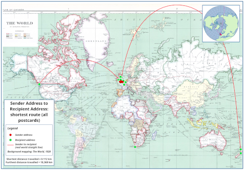
Image, left: 'Wish You Were Here: Technical Report & Findings' (A Brigstow Institute-funded project, University of Bristol, 2016)
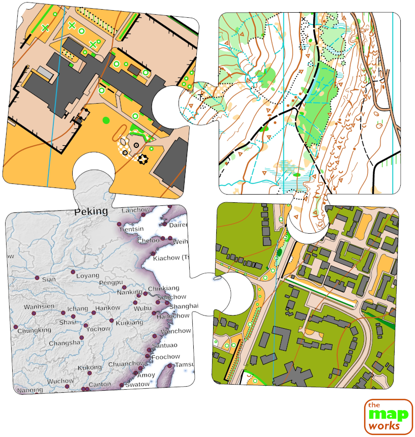
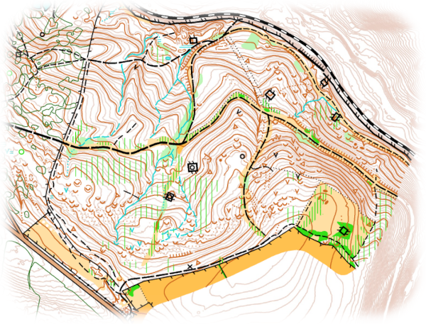
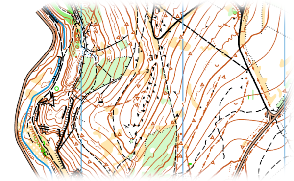
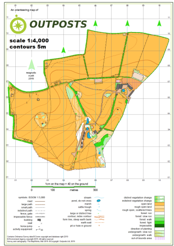
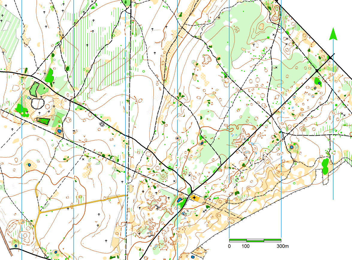
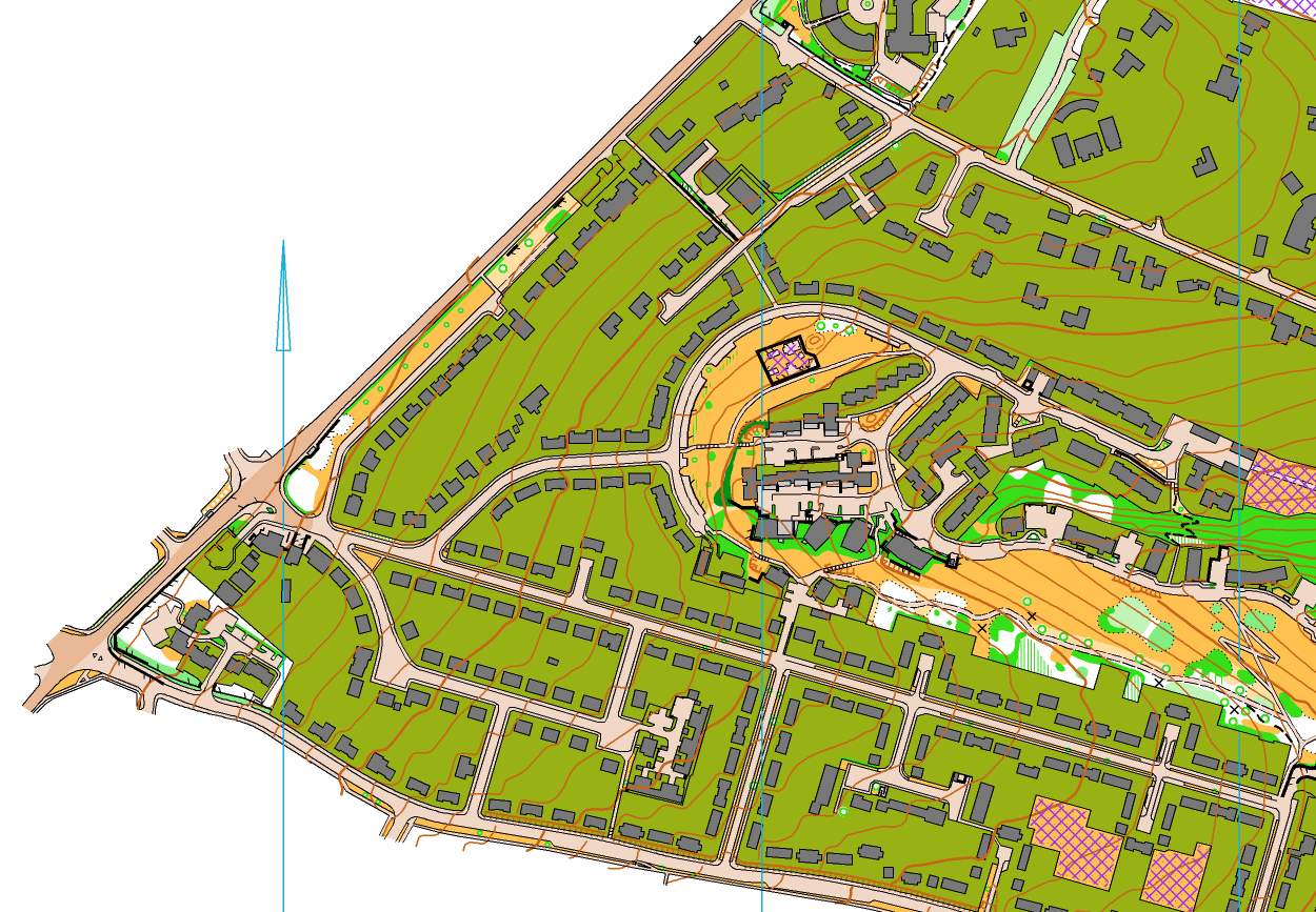
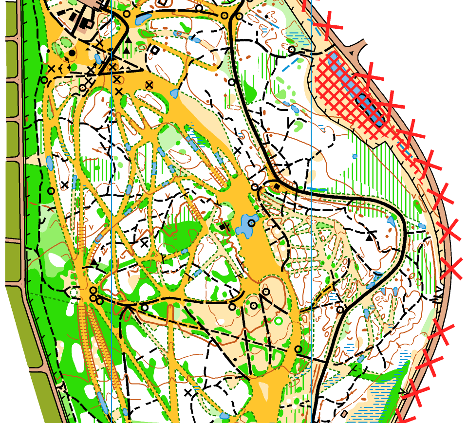
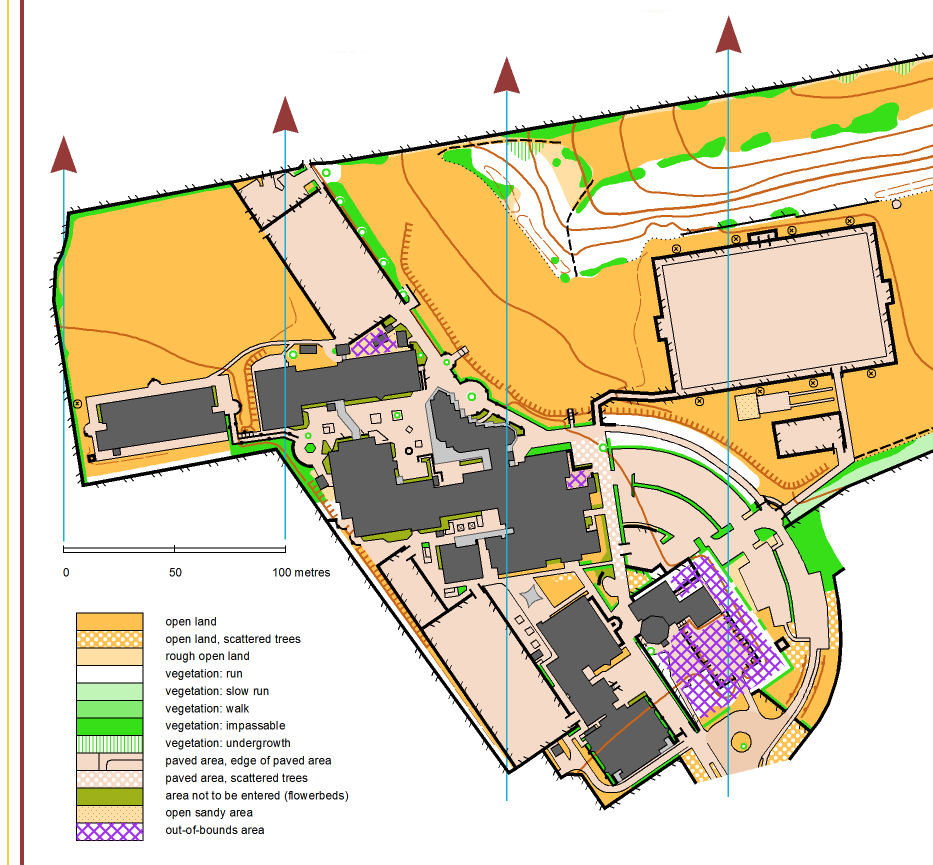
Portfolio
Click (on the +) on any of the following images for some samples of our work.
Contact
Address
18 Awdry Close, Chippenham, Wiltshire, SN14 0TQ
nick@themapworks.co.uk
themapworks@yahoo.com
Telephone
+44 (0)1249 657361
+44 (0)7774 883557